 geocatalogue.geoportail.lu
Environment>Administrative units
Type of resources
Available actions
Topics
Keywords
Contact for the resource
Provided by
Groups
Years
Representation types
Update frequencies
status
Scale
-
-
Nature Parks
-
Regional Tourist Offices
-
This layer shows the borders of Luxembourg's electoral districts
-

-
This layer shows the borders of Luxembourg's jurisdictions
-
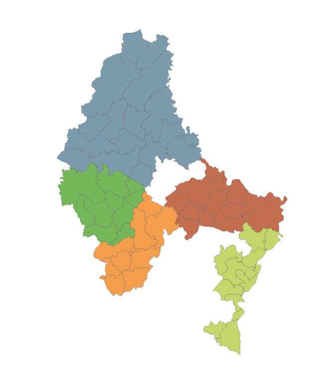
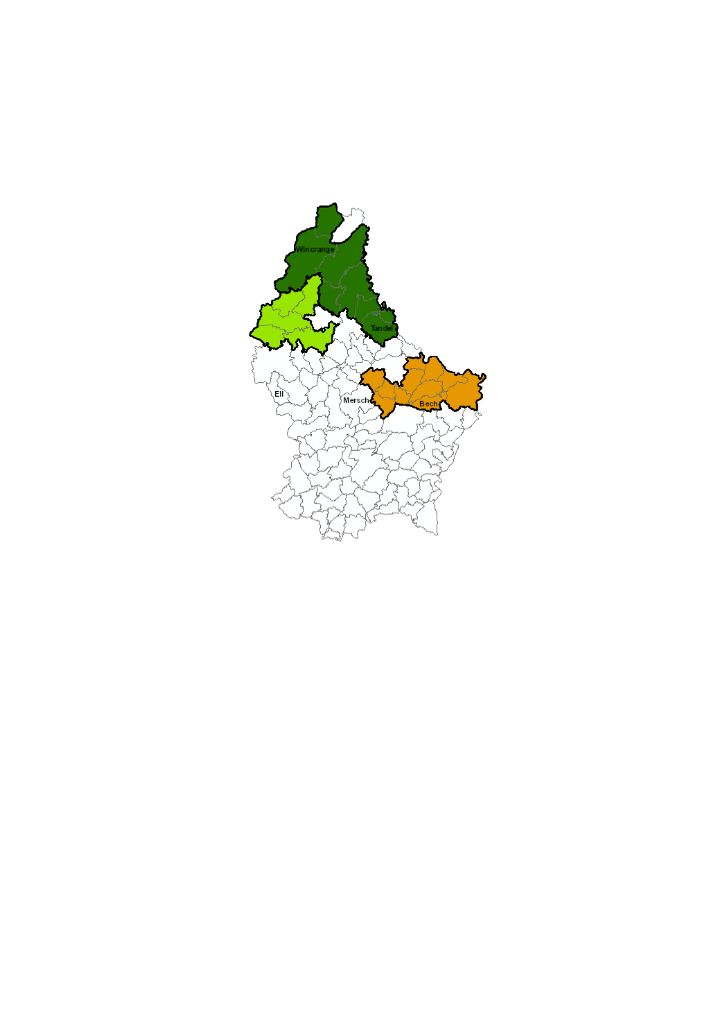
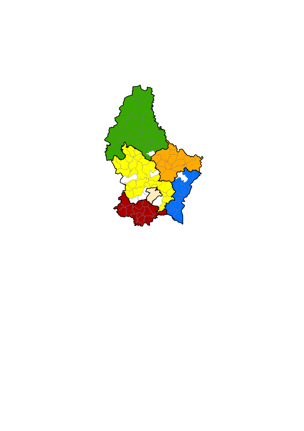
The layer shows the five LEADER regions of the Grand-Duchy of Luxembourg during the 2023-2029 programming period: Éislek (grey blue), Mëllerdall (red brown), Miselerland (light green), Wëlle Westen (dark green) et Zentrum Westen (orange). LEADER stands for "Liaison Entre Actions de Développement de l'Economie Rurale" and is a European Union initiative aimed at establishing links between projects and economic players in rural areas. More Information can be accessed on www.leader.lu.
-
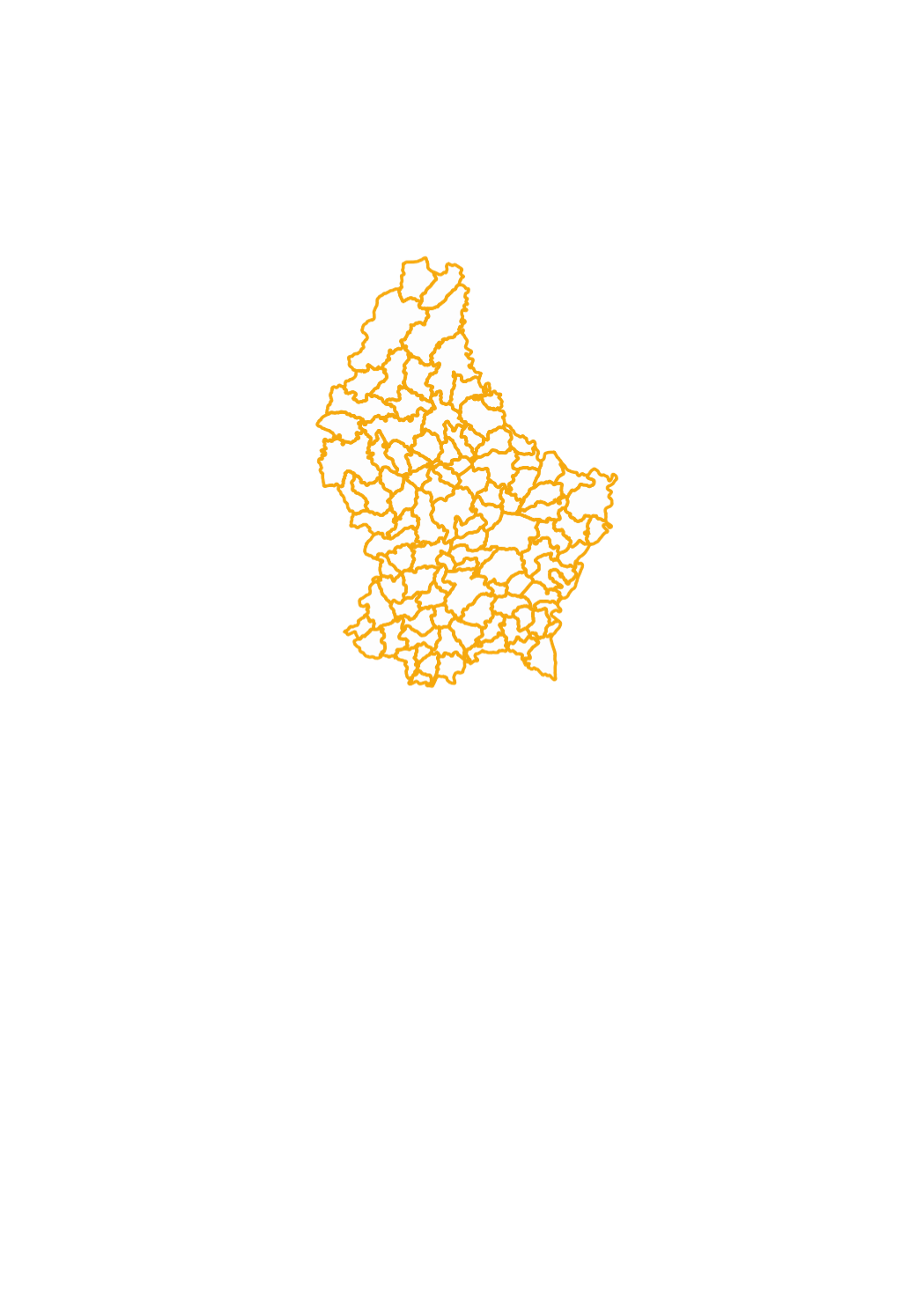
This layer contains the administrative municipality boundaries, which have been created based upon the cadastral database, after simplification.
-
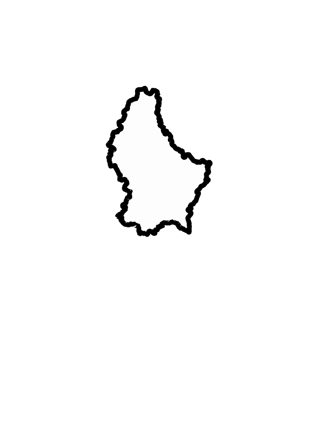
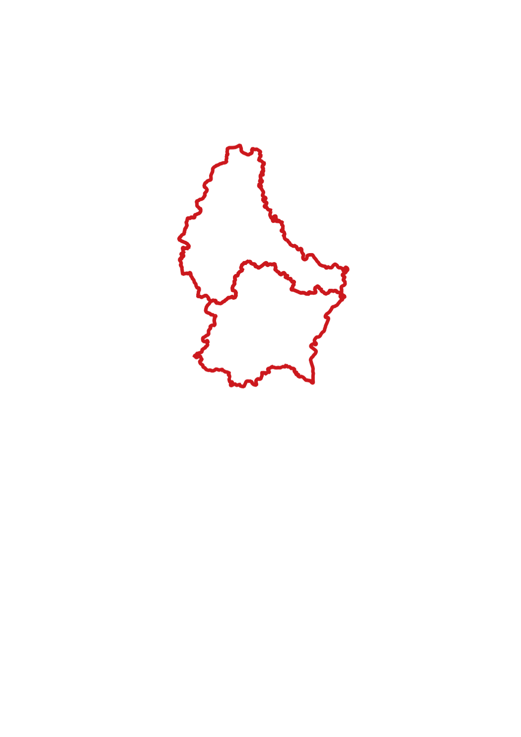
This layer shows the national borders of the Grand-Duchy of Luxemburg.
-
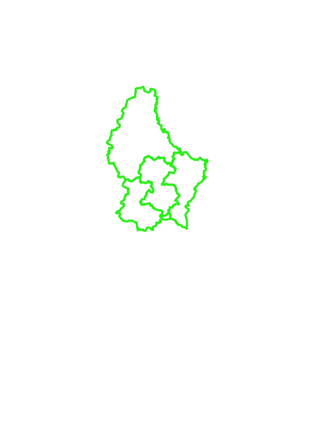
This layer shows the names of the 3 districts in which the territory of the Grand-Duchy of Luxemburg is officially divided.